
Sea kayaking around the Pembrokeshire coast, Wales (Crown copyright 2018 / Visit Wales)
Looking for some Great British adventure inspiration? You're in the right place. Here you'll get an independent, ad-free lowdown on Britain's top 50 adventure locations - the online yin to the paper yang of our Joyously Busy Great British Adventure Map.
Why Go To the Pembrokeshire COast?
Just some of things you can do on the Pembrokeshire Coast that you can't do anywhere else...
Boast that you've been to Britain's only completely coastal national park
Enjoy some of Britan's very best beaches, surfing and windsurfing / kitesurfing spots
Walk the entire thing on the Pembrokeshire Coast Path
Want to find out more? Read on for great photos, articles, videos, top tips and other content to fire up your adventure appetite. Got a question? Ask away.
Tell Me More
Britain's only fully coastal National Park has 260 miles of coastline - impressive cliffs, big sandy beaches, small sandy beaches, wooded estuaries, wild inland hills, harbours, coves and several wildlife-rich islands close by... and a few more sandy beaches. So it won't be a surprise to hear it's a great watersports destination. The entire coast is also walkable thanks to the Pembrokeshire Coast Path, one of three long-distance national trails in Wales, and part of the newfangled Wales Coast Path. Highest point: Foel Cwmcerwyn (536m).
The essential journey on the Pembrokeshire coast is unsurprisingly the Pembrokeshire Coast Path, which now forms part of the Wales Coast Path, and it's spectacular.

Surfing at Freshwater West, Pembrokeshire (Crown copyright 2018 / Visit Wales)

Walkers on the Pembrokeshire Coast Path, Wales (Crown copyright 2018 / Visit Wales)
Getting To the Pembrokeshire COast, Maps & Guides

Getting there: Drive from Cardiff (2 hrs), or train to Haverfordwest (4 hrs). Drive from London (4.5), or train (5.5 hrs).
Travel times from where you are: See Pembrokeshire on Google Maps.
Maps: Find the right Ordnance Survey maps and / or get a month's free subscription to their excellent OS Maps app.
Guidebooks: CHECK No dedicated guidebooks - best bet is the Rough Guide to Wales or Lonely Planet's equivalent.
Walking route guidance: Pembrokeshire Coast Path.
Tourist board: Visit Pembrokeshire or Pembrokeshire Coast national park.
Even More Pembrokeshire COast Adventure Inspiration

Is that really Britain? Damn right... it's Tenby, Pembrokeshire (Creative Commons)
“What the world would look like if God was a geology teacher.”
A little light Pembrokeshire reading for you...
Lonely Planet's guide to coastal adventures in Pembrokeshire
Rough Guides' take on hiking the Pembrokeshire Coast Path
Outside Online giving it some coasteering chat
Two very different short films about Pembrokeshire (language, Timothy..)
More films!
What Next?
Click here to see 49 other Great British adventure locations and tell us about your adventures, plans and suggestions for these pages.
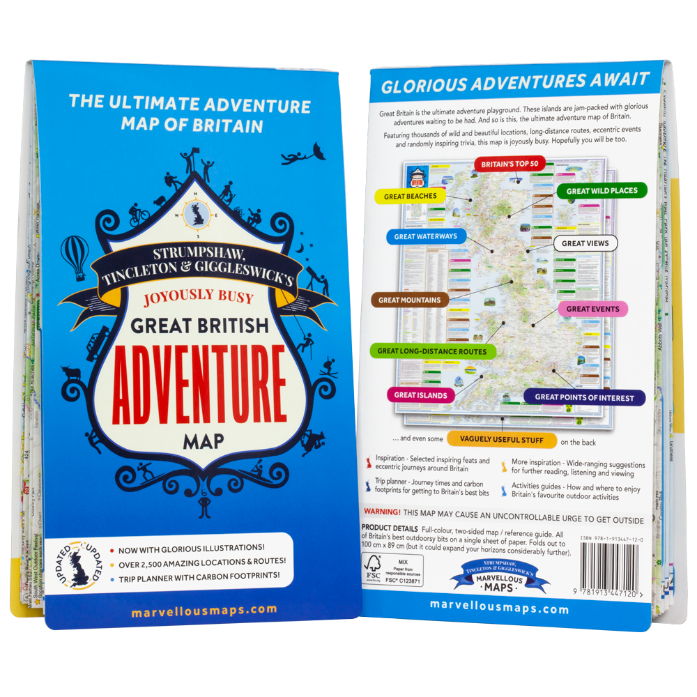
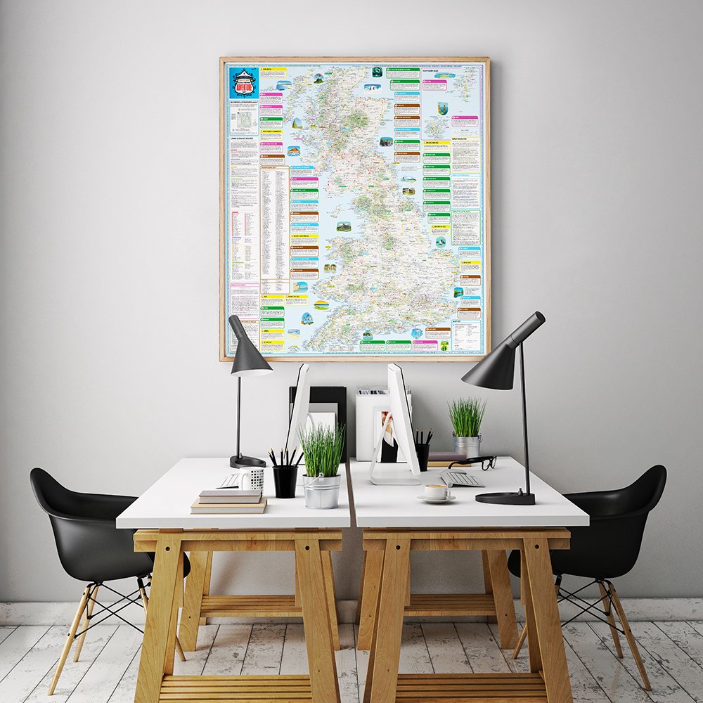
Britain's Best Outdoorsy Bits... Mapped!
Liking what you see, but fancy keeping it old school with an actual paper map? Our Joyously Busy Great British Adventure Map features all of Britain's best outdoorsy bits (including the Top 50), plus some enjoyably random and vaguely useful stuff too. Available either as a 2-sided fold-out map or a framed wall map (office furniture and fake plants not included).